Fort Dauphin (Taolagnaro)
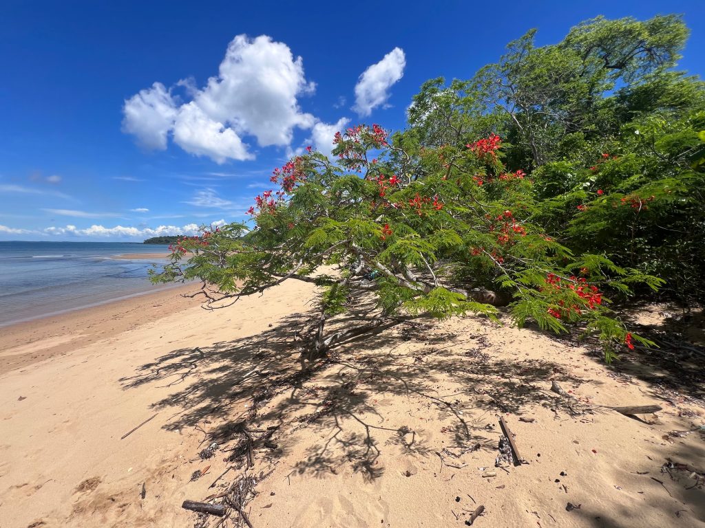
Fort Dauphin, officially Taolagnaro, sits on the southeastern coast where rainforest, spiny desert and Indian Ocean beaches meet within a few kilometres of each other. It is the base for Berenty Reserve, Andohahela National Park and Nahampoana, and the natural end point of a southern circuit. A humid microclimate keeps the country green year-round, unlike the arid land immediately west.
Berenty and Nahampoana Reserve Tours
Berenty Private Reserve lies about 80 km west along the Mandrare valley and offers the easiest ring-tailed lemur viewing in Madagascar. Around 500 ring-tails and a substantial sifaka population live in tamarind gallery forest surrounded by sisal plantation. The animals are extremely habituated, which some visitors love and others find uncomfortable.
Nahampoana Reserve is far closer, only 7 km north, and works as a half day. A former botanical station covering around 50 hectares, it holds sifakas, brown lemurs, ruffed lemurs, chameleons, tortoises and crocodiles among landscaped gardens, waterfalls and natural pools. Six nocturnal lemur species make night visits worthwhile.
Nahampoana is the gentler option and suits families or anyone short on time. Berenty needs most of a day each way and rewards an overnight.
Andohahela National Park Trips
Andohahela is the only protected area in Madagascar holding rainforest, spiny forest and the transition between them, split across three separate parcels within an hour or two of the city.
Parcel One at Isaka-Ivondro is humid rainforest with waterfalls, the easiest to reach. Parcel Two at Ihazofotsy is spiny thicket with ring-tailed lemurs and Verreaux’s sifaka, needing a four-wheel drive. Parcel Three at Tsimelahy protects transition forest and the triangular palm, which grows wild nowhere else.
Each parcel is a separate outing and attempting two in one day means most of it spent in a vehicle. Guides are compulsory and arranged through the Madagascar National Parks office in town.
Surf in the morning, walk a mountain in the afternoon and eat beside a lake in the evening. Few Malagasy towns compress that much variation into one day.
Pic Saint Louis Hiking Tours
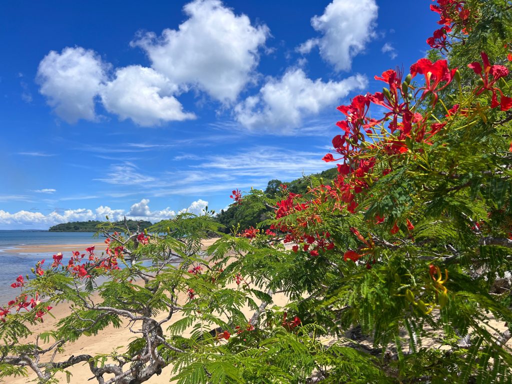
Pic Saint Louis is the peak behind the town and the emblem of Fort Dauphin. The climb takes several hours return and is steep enough to need reasonable fitness, with a guide recommended since the trail is not well marked.
From the top the view covers the bays, the lakes, the Anosy mountains and the coast running in both directions. It is the clearest way to understand the geography of the region, which is what makes the effort worthwhile beyond the exercise.
Start early. The southeast is humid and the climb becomes hard work once the sun is up.
Libanona Beach and Surfing Trips
Libanona is ten minutes from the town centre and is widely rated the finest town beach in Madagascar. White sand, clear water, sheltered from the wind and good for swimming, with sunsets that draw the whole town.
Surfers come for the waves here and at Vinanibe to the north, where a powerful swell attracts local surfers and visiting boards. Ankoba is another option, quieter and good for beachcombing.
Evatraha is wilder and further out, reached on the Lokaro excursion. Reef-safe sunscreen matters here given the coral offshore.
Lokaro Bay Pirogue and Lagoon Tours
The Lokaro Bay excursion is the most popular outing from Fort Dauphin and takes a full day. It starts with a short drive to Lake Lanirano, then a motorboat through lagoons, rivers and mangroves to the fishing village of Evatraha.
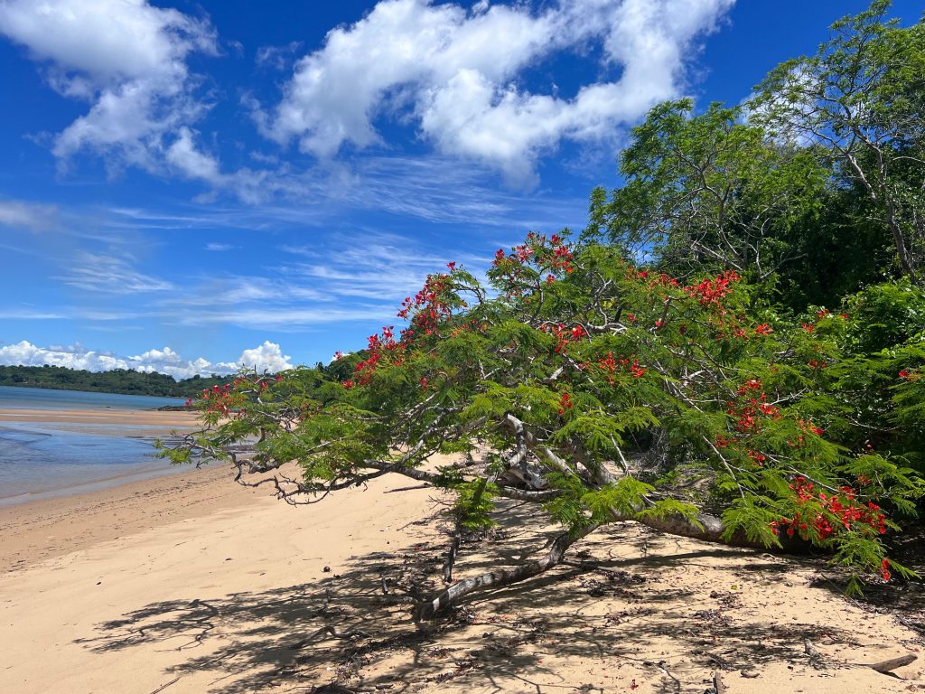
From there, walkers can continue three or four hours on foot across creeks and headlands to Lokaro itself, an isolated bay ringed by hills with hidden coves. Those who prefer not to walk return by boat.
The lagoon system supports birds and aquatic life and the boat trip alone is worth the morning. Bring water and sun protection, since shade is limited on the walking section.
Fort Dauphin is reached by air from Antananarivo in a little over an hour. The overland alternative from the RN7 is long, rough and unreliable, taking around three days from the capital with the final stretch in poor condition. Almost every visitor flies, and flight schedules are limited, so book early and leave slack around connections.
Sainte Luce, Mandena and Colonial History Tours
The French first landed in Madagascar at Sainte Luce in 1643, and Étienne de Flacourt built the fort that gave the town its name in honour of the Dauphin. Fort Flacourt survives in the town and the Fort des Portugais stands at Sainte Luce, both open to visitors.
Sainte Luce itself, north along the coast, protects littoral forest fragments with lemurs and pitcher plants, and community-run visits are arranged locally. Mandena, closer to town, is another conservation area worth a half day.
The Anosy region has been a trading crossroads for centuries, and the layers of Portuguese, French and Malagasy history are more visible here than in most Malagasy towns.
Two or three days. Nahampoana, Libanona beach, Pic Saint Louis and the Lokaro excursion. Covers the town and its immediate surroundings without long drives.
Four to five days. Adds Berenty for the ring-tailed lemurs and at least one parcel of Andohahela. The version that justifies the flight down here.

Antanosy Culture and the Mandrare Valley
The Antanosy are the people of this region, their name meaning those of the island, a reference to an island in a river where their ancestors are said to have settled. Their memorial stones stand beside roads across the area, upright carved posts marking the dead, and guides will point them out on the drive toward Berenty.
West along the Mandrare valley the country shifts to Antandroy land, the people of the thorns, herders whose spiny territory supports little agriculture. The change is abrupt: within an hour of leaving the green coast you are in semi-desert, and the tombs, houses and livelihoods change with it.
Community-run camps operate in the Mandrare valley near Ifotaka, offering walks in gallery and spiny forest with Antandroy guides. For travellers uncomfortable with Berenty’s habituated lemurs, these forests provide a wilder alternative with the same species and a more direct benefit to the communities involved.
Sisal dominates the valley agriculture, planted in the colonial period and still worked today. The plantations sit alongside the remnant forest, and the tension between the two is the story of conservation in this corner of Madagascar.
Getting to Fort Dauphin and Getting Around
Flights from Antananarivo take a little over an hour and are how nearly everyone arrives. Toliara also connects by air. The road route from the RN7 through Antandroy country is possible but takes days and the final stretches are rough.
In town, taxis and pousse-pousse cover short distances and the centre is walkable. For Berenty, Andohahela and the outlying beaches, hire a vehicle with a driver, and a four-wheel drive is needed for the Andohahela parcels and the rougher tracks.
Accommodation ranges from simple guesthouses to a handful of comfortable hotels, several near Libanona beach. Berenty has its own lodge, which is the only option if you stay out there.

Best Time to Visit Fort Dauphin
The southeast has a humid tropical climate quite unlike the arid country immediately west, with rain possible in any month.
April to June. Rains easing, green country and comfortable temperatures. Good conditions for Pic Saint Louis and the reserves, with fewer visitors than peak season.
July and August. Cooler and drier, and the busiest period on the southern circuit. Reliable conditions for the reserves and good surf at Vinanibe. Book Berenty ahead.
September and October. The strongest window. Infant ring-tailed lemurs and sifakas appear at Berenty, which is what most photographers come for, and the weather is settled.
November to March. Warmest and wettest, with cyclone exposure on this coast. Tracks to the Andohahela parcels deteriorate. Reptiles are active and prices drop, but conditions are less predictable.
Flight schedules deserve particular attention here. Services to Fort Dauphin run at limited frequency, and since the overland alternative takes around three days on poor road, a cancelled or rescheduled flight has no easy workaround. Build a buffer day at each end rather than connecting tightly.
Frequently Asked Questions
How much does a trip to Fort Dauphin cost?
The flight from Antananarivo is the main expense and should be budgeted first. Andohahela park entry is 45,000 Ariary per adult per day with compulsory guide fees on top. Berenty is a private reserve setting its own rates, typically bundled with accommodation at its lodge and higher than national park prices. Nahampoana charges a modest entry. Vehicle hire for the reserves is priced per day and is the other large cost.
How many days do I need?
Two or three days covers the town, Nahampoana, Pic Saint Louis and the Lokaro excursion. Four or five lets you add Berenty and a parcel of Andohahela, which is what most southern itineraries allocate. Given the flight, fewer than three nights is hard to justify.
Should I visit Berenty or Nahampoana?
Nahampoana if you have half a day and want easy lemur viewing close to town. Berenty if ring-tailed lemurs are a priority and you have a full day each way, since it offers the densest and most habituated population in the country. Travellers uneasy about extreme habituation may prefer the community forests in the Mandrare valley instead.
Can I reach Fort Dauphin by road?
Technically yes, and it takes around three days from Antananarivo with the last stretches in poor condition. Almost nobody does it by choice. Flying takes a little over an hour and is the standard route. Schedules are limited, so book well ahead.
Is the surfing good?
Vinanibe north of town has powerful swell and is where local surfers go. Libanona is sheltered and better for swimming than surfing. Board hire is limited, so bring your own if surfing is a priority. Conditions are best in the dry season.
Is Fort Dauphin safe?
Take normal precautions. The town is relaxed by Malagasy standards, though opportunistic theft occurs. Avoid unlit areas after dark and keep valuables secure at the beach. Guides are recommended for Pic Saint Louis both for the route and for company on an isolated trail.
What makes the region special?
The habitat range. Within a couple of hours you move from humid rainforest through transition forest into spiny desert, which happens nowhere else in Madagascar at this scale. Andohahela protects all three in one park, and the town sits at the point where they meet.
Planning Your Visit
Fort Dauphin is where a southern circuit ends and where the country’s habitat extremes converge. It rewards travellers who allow four or five days rather than treating it as a beach stop before flying home.
Booking Your Madagascar Trip
The safari companies and tour operators listed on this website put trips like this together for a living and know which camps, guides and routes actually deliver. We are an independent guide to Madagascar; we do not book or sell tours ourselves.
When you are ready, arrange your safari, tour or holiday with one of the recognised operators listed here. Tell them your dates and what matters most, and a real person, not a form, will handle the itinerary, park bookings and logistics for you.